Hexagon introduces new laser scanning sensors
09 September 2021
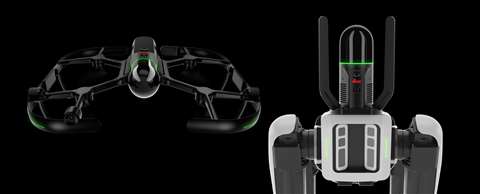 The Leica BLK2FLY (left) and Leica BLK ARC (right) are the latest additions to Hexagon’s BKL product line
Technology specialist Hexagon has expanded its BLK range of laser scanning sensors with the addition of the new Leica BLK ARC and Leica BLK2FLY.
Designed to meet “the growing demand for autonomous solutions”, the new sensor models use data software, 3D point cloud and LiDAR laser technology to automatically record spatially-accurate visuals of their surroundings while in motion.
Ola Rollén, President and CEO of Hexagon, said, “The robots, sensors and software work together, dynamically adjusting reality capture missions to offer seemingly limitless business applications – from as-built site documentation for buildings to monitoring and situational awareness of remote or hazardous environments, such as mines, factory floors, off-shore facilities, fire investigations and more.”
Known as “reality capture”, the combination of the technologies means the sensors can be used with robotic equipment to safely carry out repetitive tasks with “minimal user intervention”.
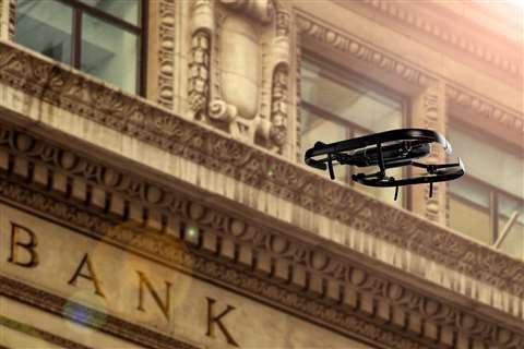
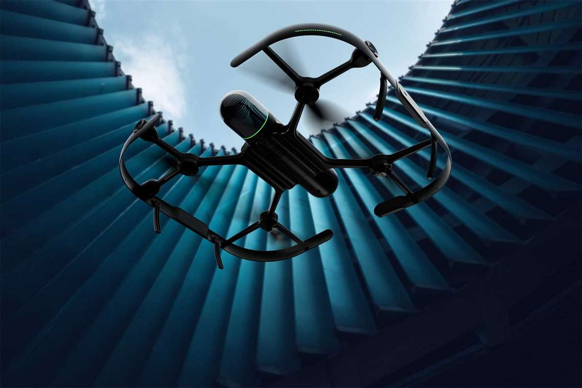
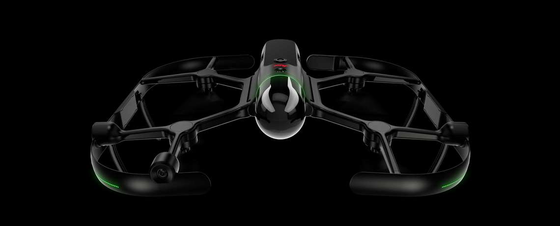
Hexagon’s new Leica BLK2FLY is an integrated drone and laser scanning sensor that enables users to take accurate aerial shots of environments and buildings.
According to the manufacturer, the airborne scanning device can be used by companies – in a range of industry sectors – that need to collect data from “inaccessible or hard-to-reach areas”, such as the exterior of built structures.
Hexagon said, “The BLK2FLY introduces the next generation of flight safety with advanced autonomous obstacle avoidance. Sensor fusion of LiDAR, radar, cameras, and GNSS ensures optimal and safe flight paths.”
Similarly, Hexagon’s new Leica BLK ARC is designed to improve the navigation capabilities of robotic machines and other ground-level carriers.
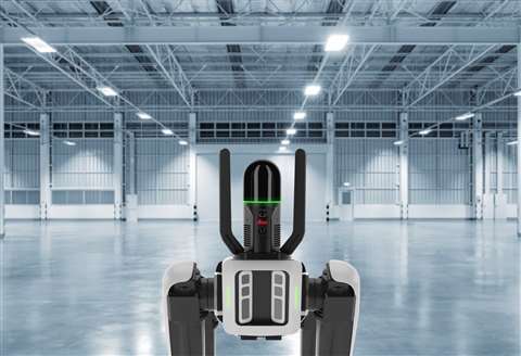 Together Hexagon’s Leica BLK ARC and Boston Dynamic’s Spot robot ‘dog’ can automated tasks on construction sites and warehousing facilities
The mountable laser scanning sensor has already been trialled with Boston Dynamic’s Spot ‘the dog’ robot.
Rollén said, “The BLK2FLY and BLK ARC illustrate Hexagon’s commitment to empowering an autonomous future with smart digital realities. The purposefully integrated sensor-software systems are tailored to bring autonomous agility and speed to any reality capture workflow.”
The two models have been launched prior to Hexagon’s appearance at the INTERGEO 2021 Live and digital exhibition, taking place between 21 and 23 September.
This year’s INTERGEO conference and trade fair for geodesy, geoinformation and land management event, comprises a hybrid format that means visitors can attend in person in Hannover, Germany, or online.
STAY CONNECTED


Receive the information you need when you need it through our world-leading magazines, newsletters and daily briefings.
CONNECT WITH THE TEAM


