


All esri uk Articles
Premium Content
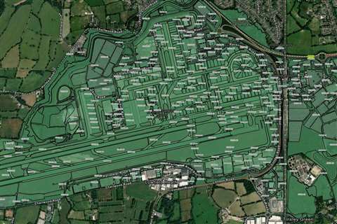
The geospatial platform is said to contain critical infrastructure information spanning the 70-year history of the airport

Premium Content
Powered by Esri UK’s geospatial technology, the portal simplifies the process of integrating open climate data with users’ own data

Premium Content
The portal is a central source of all spatial data, maps, apps and dashboards
Premium Content
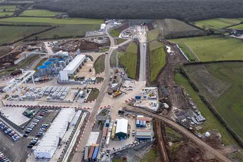
Drone software used on HS2 improves workflows and mitigates risk on site
Premium Content
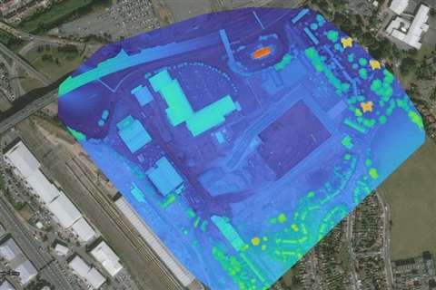
Brent Cross Town project from Argent Related and Barnet Council sees increased efficiency